A first mate for charter week.
It reads the wind, draws the route, stands the anchor watch and keeps the crew’s paperwork straight, from the invite to the last transfer.

The crew is aboard before the boat is.
One link. Names, diets and the safety briefing land in the crew app before anyone packs a bag.

The shopping list writes itself.
The crew claims meals on a shared board. Recipes scale to everyone aboard, and one shopping list comes out the other end.
Every scratch on record before you leave the dock.
Photos with time and position, the base checklist zone by zone, two signatures. The deposit argument is over before it starts.
“Where are the toilet seacocks on this boat?”
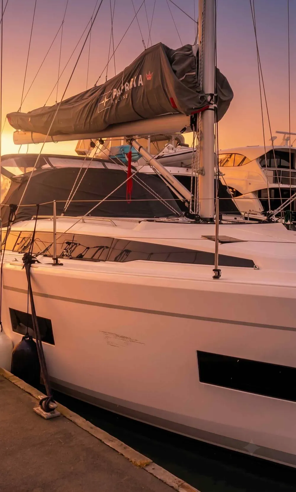
The assistant has read the manual and the schematics of your Bavaria C42. Ask what the base would answer on the phone at midnight.
See the wind before you feel it.
Gusts over the real chart, three days ahead, bending around every headland. Scrub the days. Tap the water for a point forecast.
Fastest, or comfortable for this hull.
1.4 m on the beam is nothing to a ferry and a queasy hour on a 42-footer. The router weighs wind, gusts, wave height and direction against the boat you actually chartered.
The seabed, in ten-metre detail.
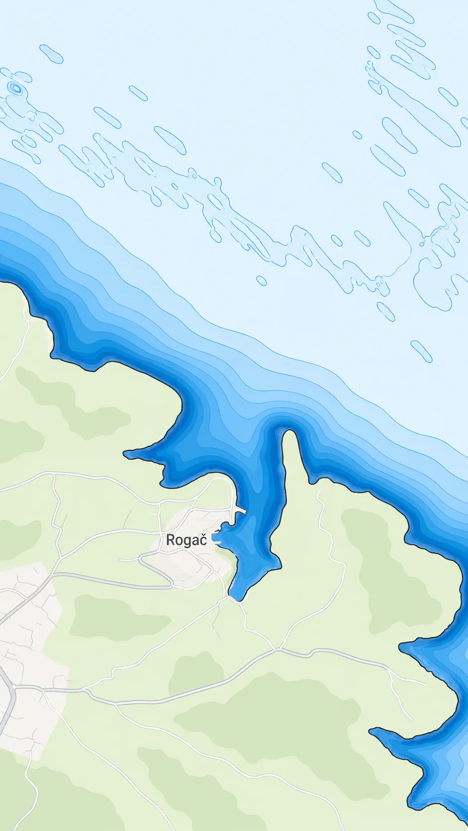
A 10 m grid, isobaths every two metres, and the seabed itself: sand, seagrass, rock, so you can see where the hook belongs. Drag the divider.
Rest. Mermaid is on watch.
Swing circle from chain and depth. A drag wakes you, and every crew phone you share it with.
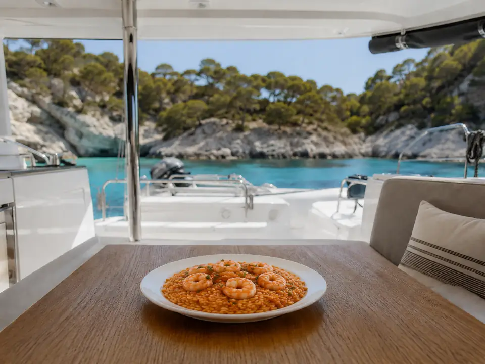
You cook. Markus paid. Nobody keeps a spreadsheet.
The cook gets the recipe scaled for six with the allergens in plain words. The kitty gets the receipt in any currency at the ECB rate. Everyone sees their own position. Tap “Expense”.
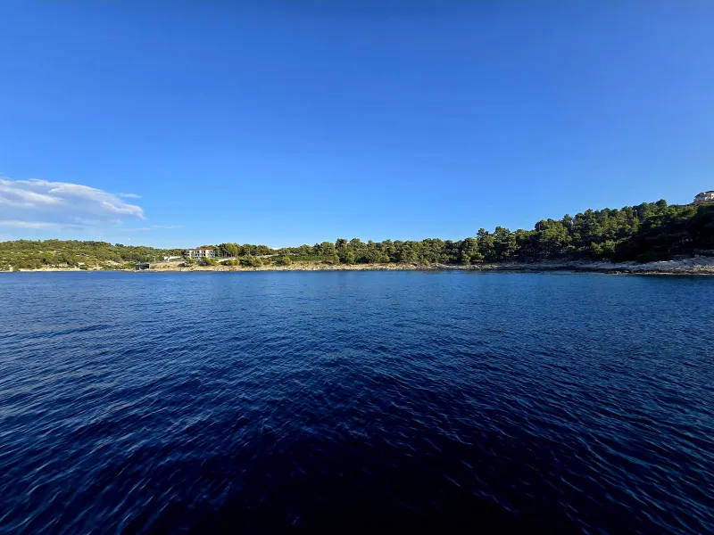
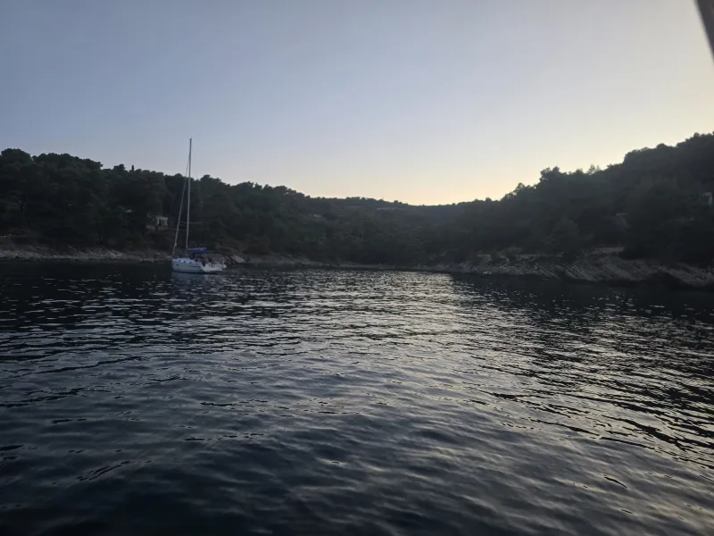
Crews who stayed tell you about this bay.
Charted shelter, draft and seabed read like instruments. Below them, crew signals from skippers who actually stayed: did the anchor hold, how calm was the night, how crowded was it.
Damage becomes a thread the base can see.
Photo, note, position. One report. The base acknowledges it, books the repair and the check-out file already knows.
Check-out snaps against check-in: same angles, same spots.
Thirty-eight pairs nobody can argue with. Sign, and the deposit decision is on paper before the taxi arrives.
two signatures · one file
Everyone’s square before heading off.
Seal the kitty. Transfers compute to the cent, statements go out by email, and the crew marks them paid from their phones.
Free Skipper, or First Mate.
Every skipper gets the chart, the forecast, the anchor watch on this phone and the crew app. First Mate adds the premium weather bundle, delegated anchor alarms on crew phones, guided photo check-in, the digital logbook, satellite and radar layers and the boat assistant. Pricing at launch.
Adriatic, Tyrrhenian and Ionian now, the whole Mediterranean in 2027.
Every feature, from the chart and the 10 m seabed to routing, forecasts, bay data and the anchor watch, runs on the areas we have charted ourselves. In 2026 that is the coast of Croatia, Slovenia, Bosnia and Herzegovina, Montenegro and Albania, Italy on both coasts including the Tyrrhenian Sea and Sicily, and the Ionian Islands of Greece from Corfu to Kefalonia. Outside those waters Mermaid is not supported yet.
Get Mermaid before the sail.
Charts and forecasts for the Adriatic download on Wi-Fi; the crew joins from a link, no install.